Our Drone Services
We provide a full range of professional drone solutions designed to support a variety of industries and project needs. Our capabilities combine advanced technology with skilled operation to deliver accurate, high-quality results.
Our services include:
- Aerial Video & Photography – Capture stunning, high-resolution visuals for marketing, real estate, media, and promotional use.
- Aerial Inspections – Safe and efficient inspections of roofs, structures, utilities, and infrastructure without the need for costly manual access.
- Site Mapping – Detailed aerial mapping to support planning, development, and project management.
- Surveying – Accurate data collection for land surveys, measurements, and analysis.
- 3D Modeling – Creation of precise 3D models for visualization, design, and engineering applications.
- Event Coverage – Dynamic aerial perspectives for events, capturing moments from a unique and engaging viewpoint.
- Agriculture Services – Crop monitoring, field analysis, and data-driven insights to support smarter farming decisions.
Our services and capabilities extend across aerial inspections, 3D mapping, and more—providing comprehensive, custom drone solutions tailored to your specific project requirements.
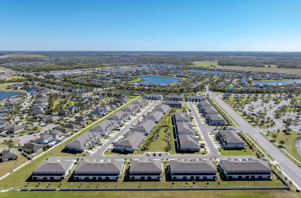
Real Estate Photography & Videography
Showcase properties from a whole new perspective with our professional aerial photography and videography services. We capture high-quality images and cinematic footage that highlight key features, surroundings, and property scale—helping listings stand out and attract more potential buyers.
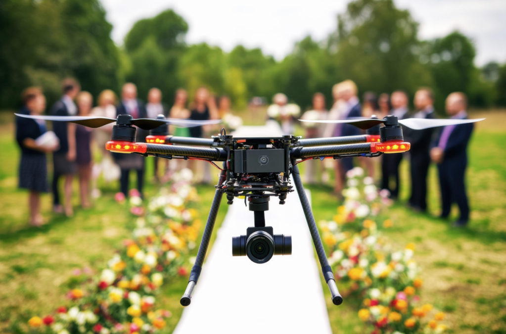
Event Coverage
Capture your event from a unique and unforgettable perspective with our professional drone services. We provide high-quality aerial photography and cinematic video that showcase the scale, energy, and key moments of your event. From private gatherings to large-scale productions, our team delivers dynamic visuals that enhance promotion, documentation, and lasting memories.
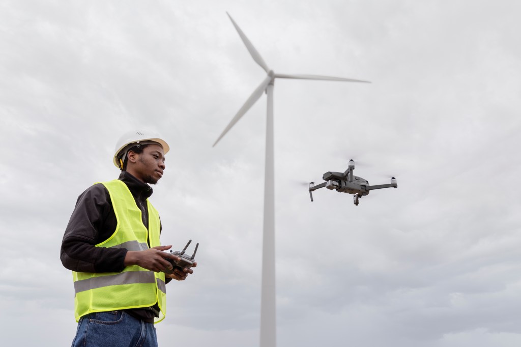
Aerial Inspections
Our drone inspection services provide a safe, efficient, and cost-effective way to assess structures and infrastructure. We deliver high-resolution imagery and detailed visual data for roofs, buildings, towers, and other hard-to-reach areas—reducing the need for manual inspections while improving accuracy and safety. Ideal for maintenance, reporting, and compliance, our inspections help you make informed decisions with confidence.
